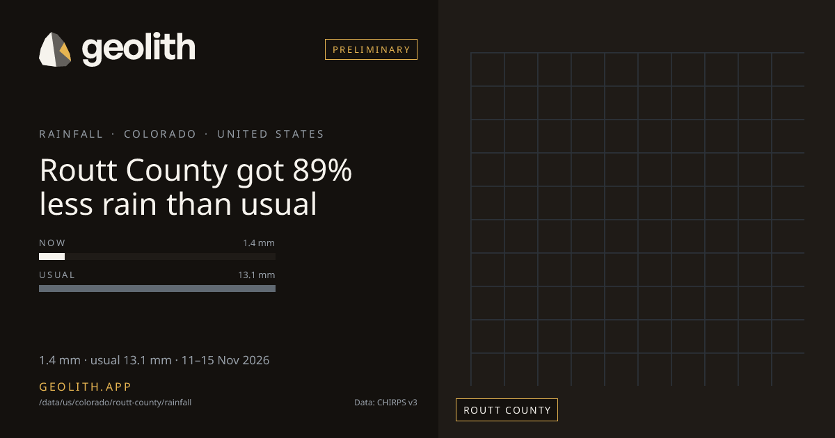
Routt County got 89% less rain than usual
Rainfall in Routt County: last 5 days vs normal
1.4 mm · 0.1 in · usual 13.1 mm · 11–15 Nov 2026
Data updated 20 Nov 2026 · period 11–15 Nov 2026 · source CHIRPS v3
- Preliminary
Rainfall, 11–15 Nov 2026
1.4 mm
89% below normal (13.1 mm)
- Normal
- 13.1 mm (1991–2020 mean)
- Rank in Colorado
- 30 of 64 wettest, tied with 1 more at 1.4 mm
- Season to date
- 185 mm · −27%
| Period ending | Value | Normal |
|---|---|---|
| 20 Sep 2026 | 35.2 mm | 11.2 mm |
| 25 Sep 2026 | 4.7 mm | 8.6 mm |
| 30 Sep 2026 | 8.6 mm | 6.0 mm |
| 05 Oct 2026 | 2.1 mm | 11.5 mm |
| 10 Oct 2026 | 4.5 mm | 8.5 mm |
| 15 Oct 2026 | 12.7 mm | 5.8 mm |
| 20 Oct 2026 | 0.0 mm | 5.0 mm |
| 25 Oct 2026 | 4.4 mm | 9.8 mm |
| 31 Oct 2026 | 5.7 mm | 13.5 mm |
| 05 Nov 2026 | 23.8 mm | 7.7 mm |
| 10 Nov 2026 | 0.1 mm | 6.8 mm |
| 15 Nov 2026 | 1.4 mm | 13.1 mm |
Pentad 11–15 Nov 2026
- < 25< 25 %: 36 districts
- 25–5025–50 %: 7 districts
- 50–8050–80 %: 8 districts
- 80–12080–120 %: 9 districts
- 120–150120–150 %: 4 districts
- 150–200150–200 %: 1 districts
- 200+200 %+: 0 districts
No district data
Routt County, Colorado received 1.4 mm of rainfall in the 5 days 11–15 Nov 2026, 89% below normal (13.1 mm). It ranks 30 of 64 counties in Colorado, wettest first, tied with 1 more at 1.4 mm. Since 01 Jun 2026 it has received 185 mm, −27% vs the season normal. The wettest pentad in the last 61 days ended 20 Sep 2026, with 35.2 mm. 4 of 12 pentads with a normal were above it.
Data files (CSV, Parquet, GeoParquet) and the Datasets API come with the Scale plan.
Neighbouring districts
- Jackson County−97%
- Eagle County−44%
- Grand County−94%
- Carbon CountyNo rain
- Moffat County−92%
- Garfield County−14%
- Rio Blanco County−19%
Embed this
<iframe src="https://geolith.app/embed/data/us/colorado/routt-county/rainfall" width="480" height="360" title="Rainfall in Routt County" loading="lazy"></iframe>Share card
Rainfall: CHIRPS v3.0, Climate Hazards Center, UC Santa Barbara. CC BY 4.0. DOI 10.15780/G2JQ0P
Boundaries: Overture Maps Foundation, © OpenStreetMap contributors, ODbL. India boundaries by DataMeet India community (CC BY 4.0)