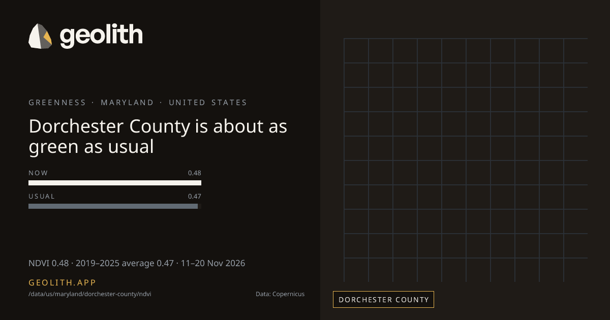
Dorchester County is about as green as usual
NDVI in Dorchester County: 10-day composite vs 2019–2025 average
NDVI 0.48 · 2019–2025 average 0.47 · 11–20 Nov 2026
Data updated 22 Nov 2026 · period 11–20 Nov 2026 · source CLMS NDVI 300 m v3
- Final
NDVI, 11–20 Nov 2026
0.48 NDVI
+0.01 vs 2019–2025 average (Sentinel-3 OLCI), average 0.47
- 2019–2025 average
- 0.47 (Sentinel-3 OLCI)
- Made from
- 10-day composite
- Clear-sky cover
- 56% of the county (16870 cells)
- Rank in Maryland
- 23 of 24 greenest
| Period ending | Value | Normal |
|---|---|---|
| 31 Jul 2026 | 0.68 | 0.68 |
| 10 Aug 2026 | 0.71 | 0.68 |
| 20 Aug 2026 | 0.70 | 0.70 |
| 31 Aug 2026 | 0.73 | 0.70 |
| 10 Sep 2026 | 0.65 | 0.68 |
| 20 Sep 2026 | 0.64 | 0.67 |
| 30 Sep 2026 | 0.61 | 0.63 |
| 10 Oct 2026 | 0.56 | 0.59 |
| 20 Oct 2026 | 0.49 | 0.55 |
| 31 Oct 2026 | 0.53 | 0.52 |
| 10 Nov 2026 | 0.47 | 0.49 |
| 20 Nov 2026 | 0.48 | 0.47 |
Dekad 11–20 Nov 2026
- <0.2< 0.2: 0 districts
- 0.20.2–0.3: 0 districts
- 0.30.3–0.4: 1 districts
- 0.40.4–0.5: 4 districts
- 0.50.5–0.6: 20 districts
- 0.60.6–0.7: 0 districts
- 0.70.7–0.8: 0 districts
- 0.80.8+: 0 districts
No district data
Dorchester County, Maryland had an NDVI of 0.48 in the 10-day composite of 11–20 Nov 2026, +0.01 vs 2019–2025 average (Sentinel-3 OLCI), average 0.47. Clear-sky cells covered 56% of the county in this composite. It ranks 23 of 24 counties in Maryland, greenest first. The greenest dekad in the last 123 days ended 31 Aug 2026, at 0.73. 5 of 12 dekads with an average were above it.
Rainfall in Dorchester County →
Data files (CSV, Parquet, GeoParquet) and the Datasets API come with the Scale plan.
Neighbouring districts
- Talbot County+0.02
- Somerset County+0.01
- Wicomico County+0.02
- Calvert County+0.03
- St. Mary's County+0.03
- Caroline County+0.03
- Sussex County+0.02
Embed this
<iframe src="https://geolith.app/embed/data/us/maryland/dorchester-county/ndvi" width="480" height="360" title="NDVI in Dorchester County" loading="lazy"></iframe>Share card
Contains modified Copernicus Land Monitoring Service information 2026
Boundaries: Overture Maps Foundation, © OpenStreetMap contributors, ODbL. India boundaries by DataMeet India community (CC BY 4.0)