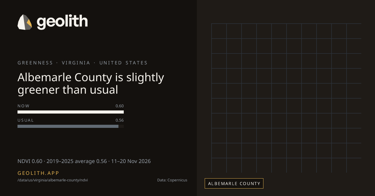
Albemarle County is slightly greener than usual
NDVI in Albemarle County: 10-day composite vs 2019–2025 average
NDVI 0.60 · 2019–2025 average 0.56 · 11–20 Nov 2026
Data updated 22 Nov 2026 · period 11–20 Nov 2026 · source CLMS NDVI 300 m v3
- Final
NDVI, 11–20 Nov 2026
0.60 NDVI
+0.03 vs 2019–2025 average (Sentinel-3 OLCI), average 0.56
- 2019–2025 average
- 0.56 (Sentinel-3 OLCI)
- Made from
- 10-day composite
- Rank in Virginia
- 38 of 133 greenest, tied with 8 more at 0.60
| Period ending | Value | Normal |
|---|---|---|
| 31 Jul 2026 | 0.70 | 0.80 |
| 10 Aug 2026 | 0.82 | 0.80 |
| 20 Aug 2026 | 0.82 | 0.80 |
| 31 Aug 2026 | 0.82 | 0.81 |
| 10 Sep 2026 | 0.82 | 0.82 |
| 20 Sep 2026 | 0.84 | 0.80 |
| 30 Sep 2026 | 0.76 | 0.79 |
| 10 Oct 2026 | 0.78 | 0.78 |
| 20 Oct 2026 | 0.77 | 0.76 |
| 31 Oct 2026 | 0.77 | 0.72 |
| 10 Nov 2026 | 0.64 | 0.63 |
| 20 Nov 2026 | 0.60 | 0.56 |
Dekad 11–20 Nov 2026
- <0.2< 0.2: 0 districts
- 0.20.2–0.3: 0 districts
- 0.30.3–0.4: 2 districts
- 0.40.4–0.5: 20 districts
- 0.50.5–0.6: 69 districts
- 0.60.6–0.7: 42 districts
- 0.70.7–0.8: 0 districts
- 0.80.8+: 0 districts
No district data
Albemarle County, Virginia had an NDVI of 0.60 in the 10-day composite of 11–20 Nov 2026, +0.03 vs 2019–2025 average (Sentinel-3 OLCI), average 0.56. It ranks 38 of 133 counties in Virginia, greenest first, tied with 8 more at 0.60. The greenest dekad in the last 123 days ended 20 Sep 2026, at 0.84. 10 of 12 dekads with an average were above it.
Rainfall in Albemarle County →
Data files (CSV, Parquet, GeoParquet) and the Datasets API come with the Scale plan.
Neighbouring districts
- Charlottesville city+0.03
- Greene County+0.03
- Fluvanna County+0.02
- Nelson County+0.03
- Buckingham County+0.02
- Rockingham County+0.04
- Orange County+0.04
- Augusta County+0.04
Embed this
<iframe src="https://geolith.app/embed/data/us/virginia/albemarle-county/ndvi" width="480" height="360" title="NDVI in Albemarle County" loading="lazy"></iframe>Share card
Contains modified Copernicus Land Monitoring Service information 2026
Boundaries: Overture Maps Foundation, © OpenStreetMap contributors, ODbL. India boundaries by DataMeet India community (CC BY 4.0)